
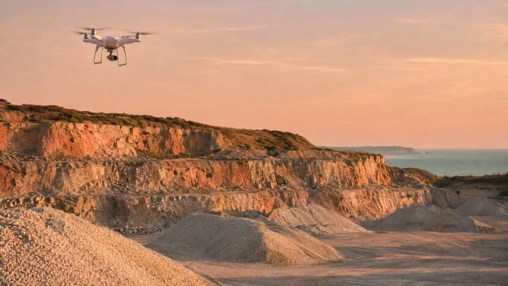
Drone Surveys in Worcestershire
Get in TouchAt Aerotech Imaging, we offer professional drone surveys in Worcestershire, providing a convenient and cost-effective solution for aerial inspection and mapping needs. Our drones capture high-resolution imagery and data, enabling detailed analysis and reporting.
Whether you need site surveys, environmental monitoring, or roof inspections, we tailor our services to meet your requirements. We cover B60 2 and nearby areas, ensuring that our expertise is readily available to you.
Contact us for a free quote and learn more about how our drone surveys can benefit your project.
How Much Do Drone Surveys Cost in Worcestershire?
Drone surveys typically cost between £400 and £1,500 in Worcestershire, depending on the area size and complexity. At Aerotech Imaging, we provide detailed quotes that reflect the specifications and requirements of your project.
For larger areas, we may use fixed-wing drones with extended flight times, which can cover vast distances efficiently. More complex sites might need additional equipment like LIDAR sensors for precise topographical data or thermal imaging cameras for heat loss assessments.
Our costs are influenced by factors such as flight duration, necessary permits, and data processing needs, including 3D modelling or orthomosaic map creation, based on your project's demands. Contact us for an accurate estimate tailored to your specific needs.
What Are the Benefits of Drone Surveys in Worcestershire?
Drone surveys in Worcestershire offer numerous advantages, providing accurate and timely data essential for informed decision-making. At Aerotech Imaging, we use technology to deliver precise results with increased efficiency and safety.
Our surveys reduce downtime, minimise human error, and offer cost savings. Key benefits include:
High-resolution imagery: Get a clear and detailed view of the survey area.
Efficient data collection: Complete surveys in less time than traditional methods.
Enhanced safety: Access hard-to-reach places without risk.
Cost-effective: Save money on labour and time.
How Long Does a Drone Survey Take?
Most drone surveys can be completed within a single day, with follow-up data processing taking an additional two to three days. The exact timing depends on the size and complexity of the survey area.
For smaller sites, such as residential plots, the surveying itself often takes just a few hours. Larger commercial projects, like surveying vast agricultural fields or construction sites, demand more comprehensive data collection, potentially prolonging the process.
Our drones are equipped with RGB and multispectral cameras, capturing high-resolution images and detailed topographical data that aid in precise mapping and analysis. We adhere to Civil Aviation Authority regulations, ensuring safe operations, and use GIS software for accurate data interpretation.
At Aerotech Imaging, we deliver timely results to keep your project on schedule.
When Are Drone Surveys Needed in Worcestershire?
Drone surveys are needed in Worcestershire when there is a requirement for precise and comprehensive aerial data collection. They are particularly beneficial for large-scale construction site monitoring, reducing the time and risk associated with manual surveying.
Our services provide critical insights through high-resolution imagery and topographic mapping, ideal for architects and engineers needing to track project progress. Environmental assessments benefit from our infrared and multispectral imaging, aiding in vegetation health analysis and wildlife habitat monitoring.
Infrastructure inspections, such as bridges and power lines, use thermal imaging to detect faults or heat anomalies, enhancing safety outcomes. Whether addressing compliance regarding local zoning laws, planning new developments, or tracking progress, we ensure thorough coverage and reliable information.
Reach out to discuss your specific survey needs with us today.
Speak to a Drone Surveys Expert
Why Choose Aerotech Imaging for Drone Surveys in Worcestershire?
At Aerotech Imaging, we offer precise drone surveys in Worcestershire. Our commitment to accuracy and customer satisfaction sets us apart.
We use the latest UAV technology, equipped with LiDAR sensors and high-resolution cameras, to ensure consistent, reliable data collection and analysis. LiDAR is particularly effective for creating detailed topographic maps, which can be invaluable for construction planning, environmental assessments, and agriculture monitoring.
Our experienced operators are trained to navigate diverse terrains and weather conditions, complying with Civil Aviation Authority (CAA) regulations for safe and legal flight operations. We collaborate with clients in various sectors, including real estate, infrastructure development, and environmental conservation, tailoring our services to the specific needs of each project.
Whether you require volumetric measurements for mining or progress monitoring for construction, we ensure comprehensive survey data. Choose us for your next project and experience professional drone survey services.
Frequently Asked Questions
How do I book a drone survey in Worcestershire?
Booking a drone survey with us is straightforward. Get in touch via our website or call our team to discuss your project requirements in Worcestershire.
We'll arrange a convenient date for your survey.
Can drone surveys be conducted in adverse weather?
Adverse weather can impact drone surveys. We recommend scheduling in advance and monitor weather conditions to choose optimal survey timings, ensuring safe and effective results.
Is there a minimum survey size or area requirement?
We customise our services to the needs of each client. While there's no strict minimum survey area, we recommend discussing your project with us to determine feasibility and accurate pricing.
What equipment is used in drone surveys?
At Aerotech Imaging, we use drones equipped with high-resolution cameras and sensors. This ensures thorough data capture and provides insights needed for your project.
Which regulations affect drone surveys in Worcestershire?
Drone surveys comply with Civil Aviation Authority (CAA) guidelines. We hold all necessary permissions for aerial operations in Worcestershire, ensuring operations meet regulatory standards.
Get a Free Quote for Drone Surveys in Worcestershire
Contact us today to arrange a drone survey in Worcestershire. Discover how Aerotech Imaging can assist with your aerial inspection and mapping needs.
We cover Worcestershire