
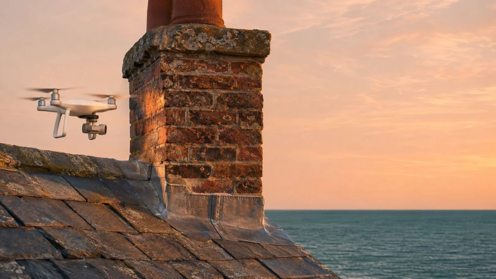
Drone Inspections in Staffordshire
Get in TouchAt Aerotech Imaging, we perform drone inspections in Staffordshire to provide accurate and comprehensive aerial data collection. Our drones capture high-resolution imagery and data, making them ideal for inspecting structures such as bridges, power lines, and rooftops, as well as for land surveys.
We cover the ST8 6 area and beyond, offering vital insights into hard-to-reach places. Contact us today to arrange your drone inspection.
How Much Do Drone Inspections Cost in Staffordshire?
Drone inspections typically cost between £250 and £750 per session in Staffordshire, depending on the site size and complexity. These inspections often involve assessing hard-to-reach areas, where scaffolding or ladders would be impractical.
Factors such as the duration, type of survey, and specific needs can affect pricing. For more detailed analyses, we use advanced equipment like LiDAR sensors and multispectral cameras.
Lengthier inspections or those involving hazardous areas may require specialised drones equipped with collision avoidance systems, impacting the overall cost. Additional services, like 3D mapping or thermal imaging, may incur extra fees.
Compliance with industry standards such as the Civil Aviation Authority (CAA) regulations ensures all operations are conducted safely and legally. Get in touch to receive an accurate quote tailored to your project requirements.
What Types of Drone Inspections Are Available in Staffordshire?
At Aerotech Imaging, we offer a variety of drone inspections suitable for different needs, leveraging our expertise in both Unmanned Aerial Vehicles (UAVs) and data analysis.
Structural Inspections: Ideal for detailed examination of buildings, bridges, and towers. Our drones are equipped with high-resolution cameras and LiDAR sensors for detailed imagery and precise measurements, making it easier to evaluate structural integrity and identify potential issues.
Land Surveys: Effective for mapping large areas quickly and efficiently. Using RTK (Real-Time Kinematic) GPS technology, we can provide maps with centimetre-level accuracy, beneficial for construction planning and environmental studies.
Thermal Imaging: Useful for identifying heat loss or insulation issues. Our infrared-equipped drones can detect thermal anomalies in roofs and building envelopes, helping to optimise energy efficiency.
Agricultural Monitoring: Enhances crop management by capturing real-time data. Our drones can use NDVI (Normalised Difference Vegetation Index) to assess plant health and provide insights into crop yields and soil conditions.
Our drone inspections comply with relevant safety standards, ensuring reliable and accurate results. Reach out to our team to discuss the best inspection type for your needs.
How Long Does a Drone Inspection Take?
Most drone inspections in Staffordshire are completed within two to four hours. The duration varies based on the scope and complexity of the inspection site.
For instance, inspecting a large industrial plant may involve more intricate manoeuvres and extended flying time compared to a smaller commercial building. Our drones, equipped with high-resolution cameras and thermal imaging sensors, efficiently gather vital data across challenging terrains and various property types.
For structural assessments, we adhere to the Civil Aviation Authority (CAA) guidelines to guarantee accuracy and safety. We also cater to specialised inspections, such as photovoltaic solar panel examinations, which typically require specific spectral sensors to detect inefficiencies.
Our efficient workflows ensure minimal disruption while capturing data promptly. Contact us to schedule a convenient inspection time.
What Are the Benefits of Drone Inspections in Staffordshire?
Drone inspections offer numerous advantages for projects in Staffordshire:
Safety: Reduces the need for manual inspections in hazardous locations, such as high-rise structures or chemical plants. By using drones, we can minimise the risk to human operators while still capturing essential data.
Efficiency: Rapid data collection over large areas, including grid mapping and 3D modelling. With drones, we can cover terrain that would take traditional methods much longer, ensuring quicker project turnarounds.
Cost-Effectiveness: Lower costs compared to traditional inspection methods by minimising equipment rental and manpower expenses. Drones can operate under various environmental conditions, saving on downtime costs.
Accuracy: High-resolution imagery improves data precision, allowing for detailed inspection reports and informed decision-making. Our drones are equipped with sensors like LiDAR and thermal imaging to further enhance data quality.
Contact us today to explore how our services can benefit your project.
Speak to a Drone Inspections Expert
Why Choose Aerotech Imaging for Drone Inspections in Staffordshire?
Aerotech Imaging should be your first choice for drone inspections in Staffordshire due to our expertise and advanced technology. Our fleet consists of a variety of unmanned aerial vehicles, including the DJI Matrice 300 RTK and the senseFly eBee X, equipped with thermal imaging and LIDAR capabilities.
This allows us to capture high-resolution data for sectors ranging from construction and infrastructure to agriculture and energy. Our experienced drone operators are skilled in using photogrammetry techniques to create accurate 3D models and orthomosaic maps, enabling precise assessment of complex structures and terrains.
We deliver comprehensive reports customised to meet your project requirements, including measurement of parameters such as height, volume, and area. To ensure safety, we maintain high standards, performing risk assessments and following strict maintenance protocols, and we always adhere to Civil Aviation Authority regulations.
Partner with us for reliable and efficient inspection results that enhance the decision-making process in complex environments. Contact us today to schedule your drone inspection.
Frequently Asked Questions
How do I schedule a drone inspection in Staffordshire?
To schedule an inspection, contact us directly. We will discuss your needs and arrange a convenient time for your project.
What regulations must drone operators follow?
In the UK, drone operators must comply with Civil Aviation Authority guidelines, ensuring safe and legal flight operations.
What is the maximum height drones can fly for inspections?
Drones can typically operate up to 400 feet (120 metres) above ground level, in accordance with UK regulations.
Are drone inspections affected by weather conditions?
Yes, adverse weather such as high winds or heavy rain can delay inspections. We monitor forecasts to schedule optimal inspection times.
Can drones inspect areas with limited access or visibility?
Drones excel in accessing hard-to-reach or hazardous areas, providing clear, high-quality imagery even in challenging conditions.
Get a Free Quote for Drone Inspections in Staffordshire
Contact Aerotech Imaging today to request your free quote for drone inspections in Staffordshire.
We cover Staffordshire