
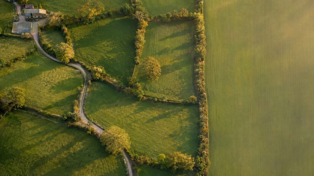
Aerial Mapping in Worcestershire
Get in TouchAt Aerotech Imaging, we offer top-tier aerial mapping services across Worcestershire. Our solutions harness the power of drones and cutting-edge software to deliver precise geospatial data for a variety of applications.
Whether you're in urban planning, agriculture, or environmental monitoring, our mapping services cater to your specific needs. Operating seamlessly within B60 2, we ensure detailed and accurate data collection for every project.
Contact us to explore how our aerial mapping can enhance your project outcomes.
How Much Does Aerial Mapping Cost in Worcestershire?
Aerial mapping with Aerotech Imaging typically costs from £500 to £1,500 per session in Worcestershire, depending on the project's scope and complexity. Factors such as area size, data resolution, and processing requirements influence the final price.
Larger areas or those requiring a ground sampling distance (GSD) below 5 centimetres typically incur higher fees due to increased data capture and processing time. We employ fixed-wing drones and rotary UAVs, suited for different terrain types, to optimise efficiency.
Our team complies with the Civil Aviation Authority (CAA) regulations, ensuring safe and lawful flight operations. Additionally, we provide orthomosaic map generation, which is beneficial for urban planning and environmental monitoring projects.
Our competitive rates ensure value with expert analysis and high-quality outputs. For a tailored quote based on your specific needs, contact us today.
What Are the Benefits of Aerial Mapping in Worcestershire?
Aerial mapping offers numerous advantages for projects in Worcestershire. At Aerotech Imaging, we provide detailed and actionable insights, enhancing project accuracy and decision-making.
Using technologies such as LiDAR (Light Detection and Ranging) and multispectral imaging, we ensure precise elevation data and land cover analysis, essential for effective urban planning and environmental monitoring.
High Resolution Data: Our equipment captures detailed images with pixel sizes down to 5 cm for comprehensive analysis.
Efficient Coverage: Large areas are mapped swiftly, with our drones covering up to 2 square kilometres per hour, saving valuable time.
Versatility: Suitable for diverse sectors like construction, agriculture, and disaster management, providing vital orthomosaic maps and 3D models.
Cost-Effective: Reduces the need for extensive on-ground surveys and minimises manpower, translating to budget savings.
By engaging our aerial mapping services, you can transform your project's planning and execution with precise data and insights.
What Does Aerial Mapping Cover?
Aerial mapping is ideal for a wide range of applications across various industries, providing precise spatial data that supports informed decision-making. It covers urban planning, construction site monitoring, agricultural assessments, and environmental surveys.
Our drones and sensors are capable of capturing diverse terrain types, offering geographical data that is vital for accurate development planning and resource management.
We use photogrammetry and LiDAR technology to create detailed topographic maps and 3D models, essential for analysing elevation changes and vegetation density. Our equipment is equipped with multispectral and thermal imaging capabilities to assess crop health and detect water stress in agricultural fields.
For construction, aerial mapping helps in tracking progress and providing updates aligned with project timelines. Additionally, our surveys support compliance with environmental regulations by mapping habitats and analysing site impact.
Contact us to discuss how our aerial mapping service can benefit your project in Worcestershire.
How Long Does Aerial Mapping Take?
The duration of an aerial mapping project depends on the area size and data resolution required. Large surveys of expansive rural areas typically require longer flight times and multiple sorties, while smaller urban sites may be completed more swiftly.
Most projects in Worcestershire are completed within one to three days, including data collection and initial processing. Using our DJI Matrice 300 RTK drones, equipped with LiDAR sensors and high-resolution cameras, allows us to capture detailed imagery efficiently.
Our team adheres to the Civil Aviation Authority regulations, ensuring safety and compliance throughout the process. Post-processing, which includes generating orthophotos and creating digital elevation models, adds around two to five days.
For accurate timelines suited to your project, get in touch with our team.
Speak to an Aerial Mapping Expert
Why Choose Aerotech Imaging for Aerial Mapping in Worcestershire?
Choosing Aerotech Imaging ensures you benefit from cutting-edge technology and experienced professionals in Worcestershire. We employ advanced drones equipped with LiDAR sensors and high-resolution cameras to capture detailed topographic data.
Our use of GIS software, such as ArcGIS and QGIS, enables us to deliver precise geospatial analysis and customised data layers tailored to your project requirements. Our services comply with industry standards, such as ISO 9001 for quality management, ensuring accurate and robust mapping outputs across applications like construction planning, environmental monitoring, and agricultural analysis.
Projects typically range from two to three weeks depending on scope, and we handle each stage from data acquisition to processing and analysis. Our commitment to customer satisfaction and precise data outputs makes us a trusted partner for numerous industries.
Collaborate with us for reliable and insightful aerial mapping.
Frequently Asked Questions
How Do I Maintain the Accuracy of Aerial Mapping?
To maintain accuracy, we recommend regular updates to account for changes in the landscape. Our team provides ongoing support and periodic re-evaluation to ensure data remains current.
What Is Included in the Price of Aerial Mapping?
Our aerial mapping service includes flight planning, data collection, image processing, and a report. Additional services, such as 3D modelling, can be provided upon request.
Are There Any Limitations on Areas Covered by Aerial Mapping?
We cover a broad geographical area, including B60 2 and the surrounding regions. Our services adapt to varied terrains ensuring accurate data irrespective of location.
How Do I Book a Site Visit?
To arrange a site visit, simply contact our team. We will discuss your needs and schedule a survey at a time convenient for you.
Get a Free Quote for Aerial Mapping in Worcestershire
At Aerotech Imaging, we are ready to assist you with precise and professional aerial mapping services. Enhance your planning and decision-making processes today.
We cover Worcestershire